Why a Checklist Can Crowd Out a Local Outing
A local outing checklist can become an errand list. Use these checks to keep the route practical, flexible, and shaped by the character of the place.
The common mistake with a local outing checklist is adding nearby stops until the route becomes a delivery run. You spend the outing checking directions and arrival points instead of learning how the neighborhood fits together. A better list helps you make practical choices about access, timing, and route shape—not collect landmarks.
Local outing checklist
Use this checklist before you leave. Each item links an observable detail to a decision, so the plan can change for a clear reason rather than grow by habit.
- Starting point: Check that your chosen entrance, station, or village green is open and easy to identify. If it is, use it as the route’s anchor; if not, choose a nearby public access point and revise the return route.
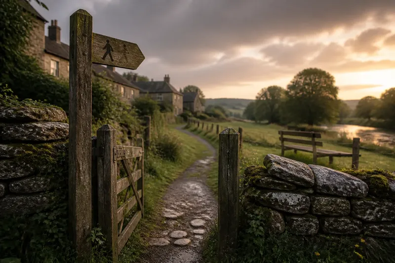
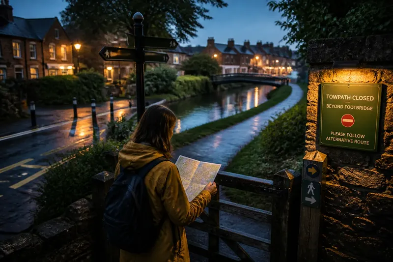
- Path access: Check posted signs and current land-manager notices for closures or restrictions. If the path is open to your intended use, keep it in the plan; if it is closed or restricted, choose a signed alternative rather than crossing around the notice.
- Road crossings: Check where the route meets busy roads and whether a marked crossing is available. If the crossing suits your group, keep that route; if not, take a quieter street or path that avoids the crossing.
- Surface and weather: Check the forecast and the route’s surface notes, then consider whether rain could make an unpaved section difficult. If conditions suit your footwear and group, retain that section; if not, choose a paved route or shorten the outing.
- Return options: Check how you will get back from the farthest point, including the last public transport connection if you depend on one. If the return is workable, keep the endpoint; if not, turn the route into a nearer loop or choose a closer anchor.
- Useful stops: Check whether each planned stop serves a real purpose, such as a rest, a needed facility, or a meeting point. If it does, keep it; if it is only another pin on the map, remove it and leave that time for the route itself.
- Route length: Check the map for a clear way to shorten the outing. If a shorter loop or return point is available, keep that option in mind; if not, choose a route whose full distance and terrain suit the people coming along.
Plan for connections
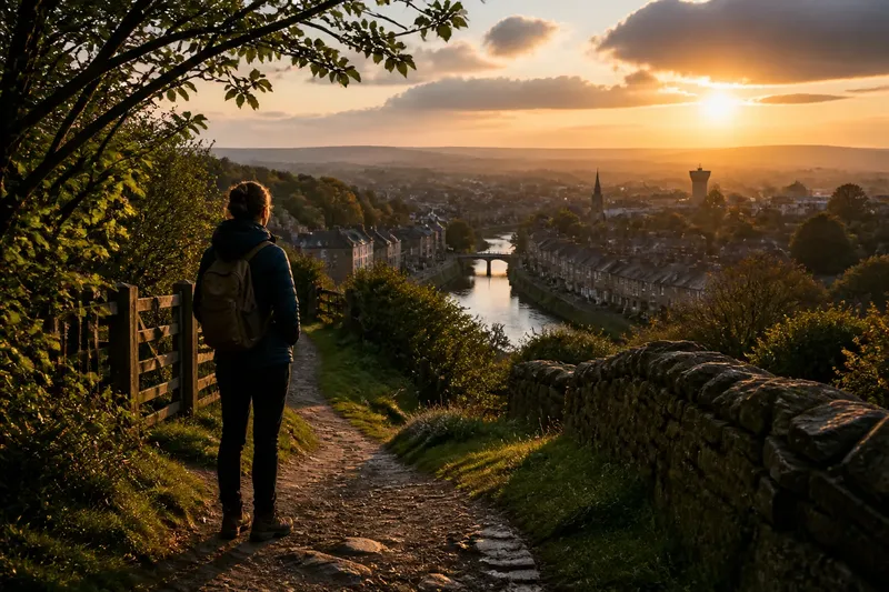
Named destinations are easy to spot on a map. The less obvious parts—the lane between a housing estate and a park, the path behind a row of workshops, the shift from pavement to canal towpath—often explain a place better. Build the route around those connections instead of treating them as dead space between attractions.
Choose one anchor, such as a station, public footpath entrance, or town square. Then look for a route that links it to a contrasting setting: streets to allotments, a canal to a residential quarter, or a village edge to open fields. A paper map can show the broad shape; a phone map can help confirm turns. Check signs on the ground where access is unclear.
It is not worth researching every plaque, café, and scenic angle before a short outing. Confirm access and the return plan, then leave the rest undecided. That is enough preparation to avoid preventable snags without turning the trip into an assignment.
What should stay on the list?
How many stops should I plan?
Keep only stops that solve a practical need or give the route a useful anchor. If several places compete for the same role, choose one and remove the others.
What if a path is closed?
Follow posted signs and the relevant land manager’s guidance. If the closure blocks your route, use a signed public alternative or choose a different loop rather than bypassing the restriction.
How do I keep the plan flexible?
Mark a clear way back and identify a point where you can shorten the route. If conditions or energy change, use that option; if everything is going well, continue along the planned path without adding stops just because they are nearby.
A route decision
Say you are planning an invented outing from a neighborhood station to a canal path and back. Your starting inputs are a phone map showing a road crossing, a posted notice that the towpath is closed beyond a footbridge, and a return train you need to catch. First, you remove the closed section from the route. Next, you check the map for a signed path that turns back before the bridge and avoids the busy crossing. Then you compare that loop with the return connection and keep the shorter option that leaves a straightforward way to the station. The resulting plan skips a landmark beyond the closure but preserves a practical canal walk and a clear return.
A local outing checklist works best when each item answers a decision: keep this route, change it, or leave it out. The main search phrase, local outing checklist, should help you make the route workable—not tell you how many things to see. Keep the access notes and return plan; let the rest of the map remain an invitation rather than an obligation.