Woodland Edge or Open Field: Two Different Walking Moods
Compare woodland edge and open field walks by route shape, exposure, and landscape character, then choose a nearby path that suits your day.
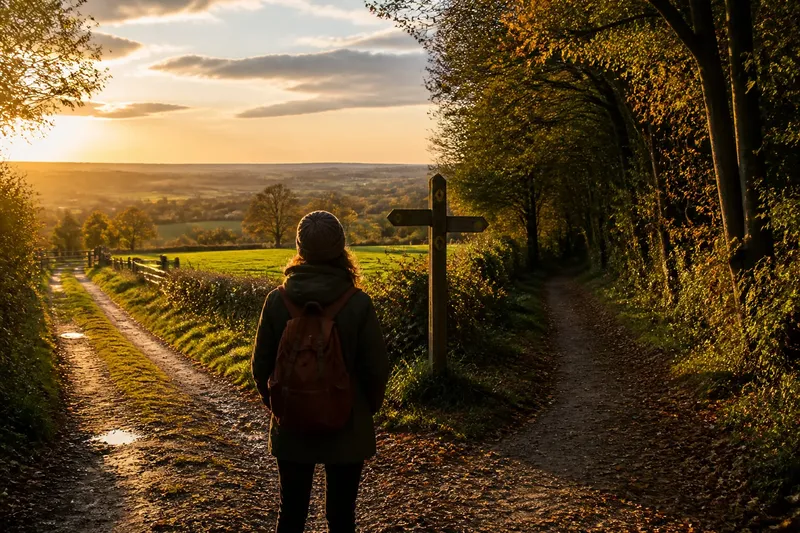
The common mistake when choosing between a woodland edge and an open field is judging the walk by distance alone. Two nearby paths can differ in exposure, footing, and how easy it is to follow the route; overlook those details, and a pleasant outing can turn into an uncomfortable or confusing one.
Woodland edge or open field is a useful search when you are deciding what kind of nearby landscape suits your plans. Start with the path itself, then consider what each setting asks of you.
Route shape
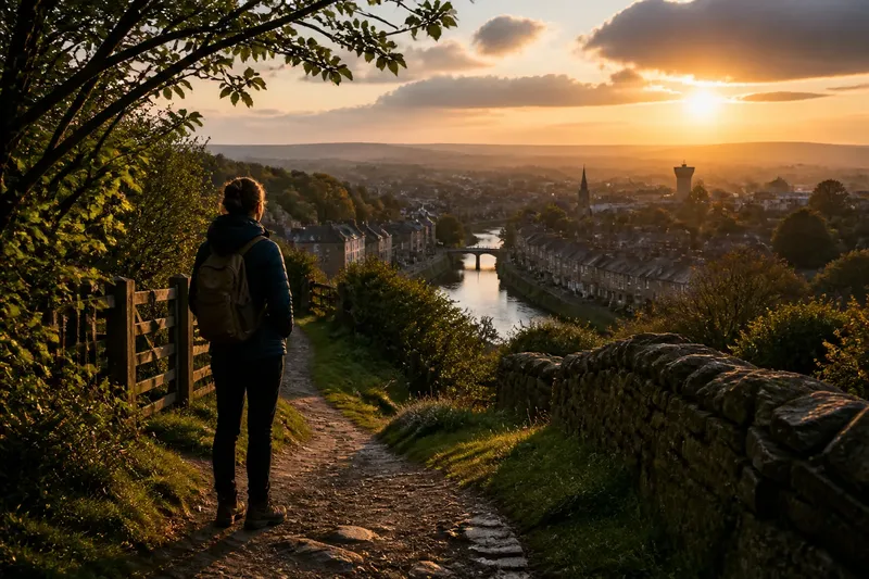
Open-field paths often follow straight farm tracks, field boundaries, or the gentle curves of a hillside. A long sightline can make junctions easier to anticipate, but a path may offer few natural landmarks between them. Check a local map for gates, bends, and points where the track meets a lane.
Routes beside trees may curve around a wood, follow a hedgerow, or link several field entrances. The boundary can provide a clear line to follow, though openings and intersecting tracks may still call for careful map reading. A marked path or reliable map matters more than the landscape’s appearance.
Ground and access
Surface conditions vary by route and season. A field track may be firm, muddy, rutted, or crossed by farm entrances. A path near trees may collect fallen leaves or become uneven around roots. Look for local access notes, and choose footwear for the conditions described rather than assuming one setting is always easier.
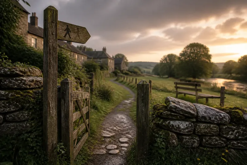
Check whether the route is a public path and whether any gates or access restrictions are noted. Respect signs, close gates as directed, and keep to the path. If the route information is unclear, choose a clearly marked alternative instead of treating a visible track as permission to enter.
Choose by conditions
Exposure is a practical difference to consider. An open track may feel more affected by wind or direct sun, while trees can provide some shade without blocking all weather. Neither setting offers dependable protection, so check the forecast and carry what the conditions call for.
For a simple decision, check these points before setting out:
- Check the forecast for strong wind or rain; if the exposed route seems uncomfortable, choose a more sheltered marked path or postpone the walk.
- Check the local route notes for muddy or uneven ground; if the surface may not suit your footwear, pick a firmer alternative.
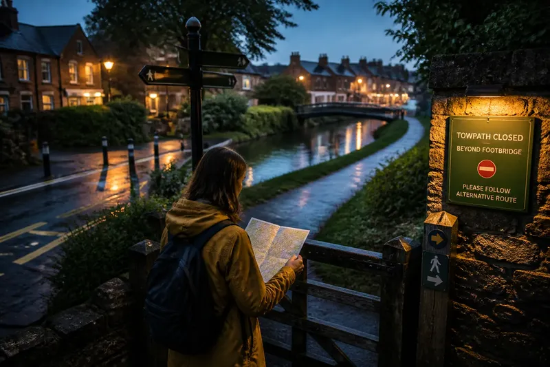
- Check the map for junctions and field gates; if the route is hard to follow, choose a marked path with clearer turns.
- Check access signs and public-path information; if access is restricted or uncertain, do not enter and select another route.
- Check for shade if you prefer to avoid direct sun; if the open track has little cover, choose a route with trees or go at a cooler time.
- Check how much time and energy you have; if the route’s return or terrain feels demanding, choose a shorter, easier loop.
A route in practice
Say you have an afternoon free and two nearby options. The first is a marked track crossing open pasture, with a lane junction shown on the map; the second follows the edge of a wood and has a muddy section noted in local route information. You prefer an easy-to-follow path and have shoes that are not suited to mud.
First, check the forecast and confirm both paths are open. Next, trace the field track to its lane junction and note the turn for the return. Then compare the surface notes: the woodland route’s muddy section is a poor match for your footwear, while the field track has no such warning. The resulting choice is the open-field route, with the tradeoff that it may feel more exposed; if the forecast makes that uncomfortable, choose a different marked path instead.
What matters on the map?
How can I tell if a path is public?
Check an official local rights-of-way map or the relevant land manager’s access information. A visible track alone does not establish public access, so follow signs and posted restrictions.
Which route is easier to follow?
A straight field track can be simple to trace, while a boundary path may have more bends or junctions. Use the map and route markings to judge the actual path rather than relying on the landscape type.
What should I check after rain?
Look for recent local route notes and warnings about mud, flooding, or closures. If conditions are unclear or the ground looks unsuitable, choose another accessible route.
Is a tree-lined path always sheltered?
No. The amount of cover depends on the trees, their position, and the weather. Treat shelter as a possible comfort, not a substitute for checking conditions.
Skip the perfect view
It is not worth searching every map image for a path that promises a remarkable view. Clear access, suitable ground, and a route you can follow are more useful than a dramatic-looking line on a screen.
For woodland edge or open field walking, compare the route’s access, surface, shape, and exposure before deciding. Those checks help you choose a nearby path that fits the day, even when both options look appealing at first glance.